Dispyr - studies: Dispyr - Albera
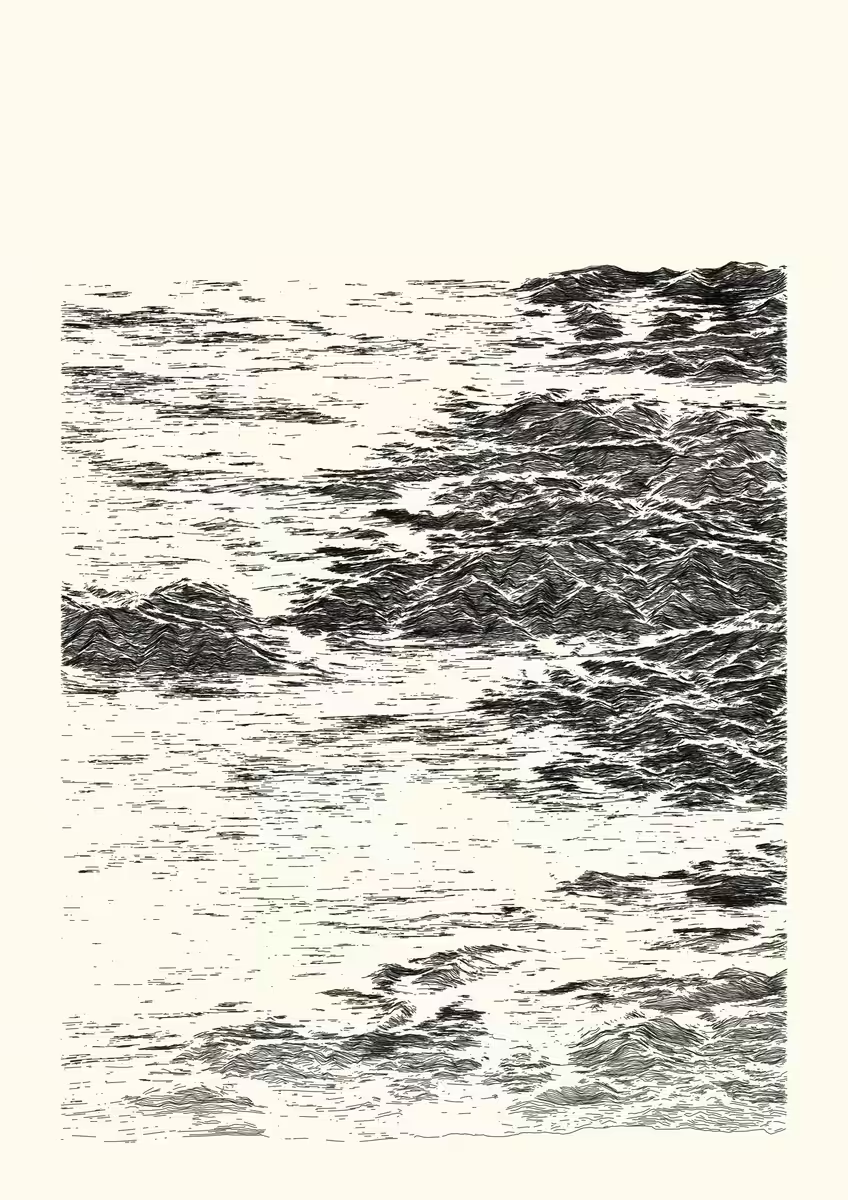
This series is an attempt to emulate etching drawings with code, by playing with noise and data removal to create a more natural rendering.
Elevation data centered on a point of interest in the Pyrénées mountain range is obtained from a digital elevation model. Then, this 3D point set is processed into 2D, by computing multiple lines of elevation as a function of longitude, for discrete latitude values. The intersections between lines are avoided by checking for a minimum distance between a point at a given longitude and its neighbourhood.
Finally, the overall aesthetic is obtained by adding noise and discarding information as a function of various attributes (elevation, slope, distance).
Here, this output represents a view (north-south oriented) from the Albera massif, the easternmost prolongation of the Pyrenees into the Mediterranean sea, and one of the main pass of the border between France and Spain. The sea level was raised to an altitude of 250 m. lat : 42.547, lon : 3.023 (decimal degrees, WGS84, 30 x 100 km rectangle area). Produced using Copernicus data and information funded by the European Union - EU-DEM layers.
digital, 3507 x 4960 lossless bitmap, computed and rendered with R.