Dispyr - studies: Dispyr - Ossau
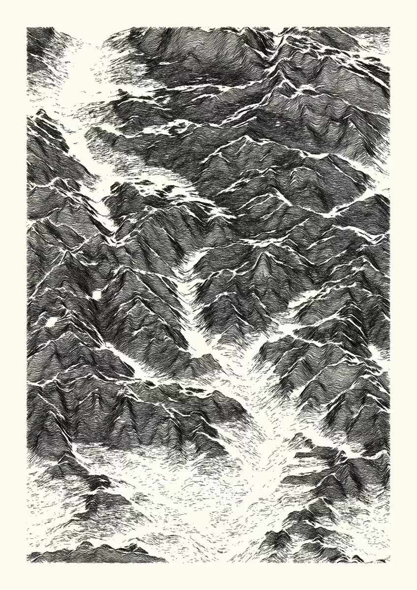
This series is an attempt to emulate etching drawings with code, by playing with noise and data removal to create a more natural rendering.
Elevation data centered on a point of interest in the Pyrénées mountain range is obtained from a digital elevation model. Then, this 3D point set is processed into 2D, by computing multiple lines of elevation as a function of longitude, for discrete latitude values. The intersections between lines are avoided by checking for a minimum distance between a point at a given longitude and its neighbourhood.
Finally, the overall aesthetic is obtained by adding noise and discarding information as a function of various attributes (elevation, slope, elevation dispersion).
Here, this output represents a view (north-south oriented) from the Ossau valley (France) to the province of Huesca (Aragon, Spain). lat : 42.8179, lon : -0.4205 (decimal degrees, WGS84, 40 x 30 km rectangle area). Produced using Copernicus data and information funded by the European Union - EU-DEM layers.
digital, 3507 x 4960 lossless bitmap, computed and rendered with R.