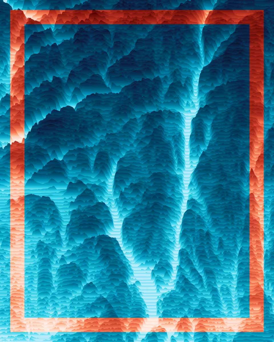
Voyager #3 | The Fjords – Norway
totoroooo, 2021 — on Foundation
Description
This unique piece is a geovisualisation of the south of Norway, near Frafjordheiane National Park.
Dimensions: 8000x10000
Edition: 1/1
Year: 2021
Data: SRTM 1 Arc-Second Global (satellite imagery)
Coordinates: N 58° 31.842000 | E 6° 32.442000
Any owner of this work can request a full explanation of how data was used in its creation, if they wish to know.
Made with QGIS, Illustrator and D3.js
On-chain
Market
Provenance