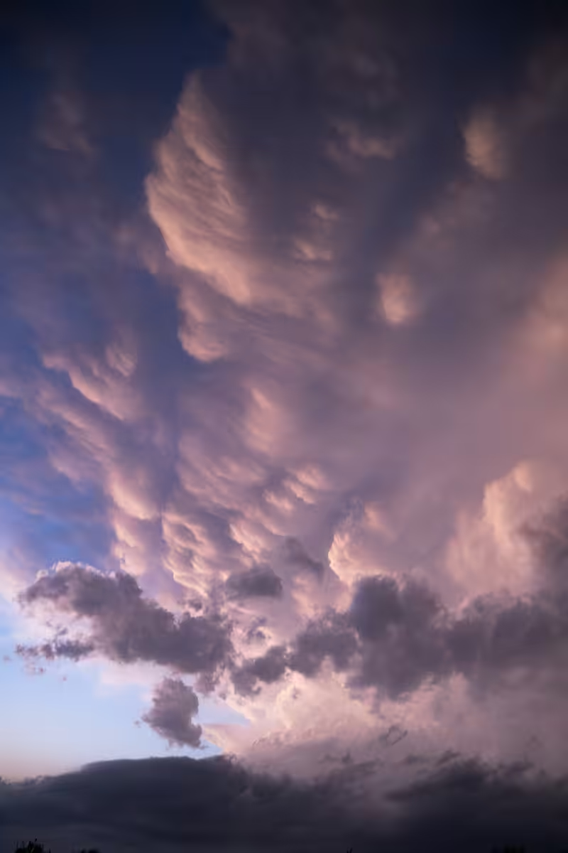
Born to Chase: Blue Hour Mams
This day was a day of much uncertainty. Many chose to drive north to Iowa to chase an easier, more understood setup while few stayed south in Oklahoma. I woke up sick and chose not to drive all day north when there was a high risk, high reward in a favorable chase region an hour from my apartment. A strong cap (warm air aloft that would prevent updrafts from reaching the cooler and more unstable air above) was in place, but due to temperatures being higher than forecasted, the cap was able to erode and let hot and humid air do its thing in an extremely unstable environment. The first storm did not do much except drop a weak tornado on the other side of Moore, Oklahoma. The second wave was the problem. This cell exploded and eventually dropped an EF-3 wedge tornado near Cole, Oklahoma. Sadly it claimed the lives of residents in the town. As blue hour hit, I decided to continue my chase on the other side of Norman, Oklahoma (where I lived at the time) when I looked up to see mammatus clouds on the edge of the anvil. It was a spectacular sight, but this storm was gaining intensity and was about to drop tornadoes. Little did I know it would have the most impressive radar signature as it dropped 18 tornadoes throughout its life.
This photo was taken on April 19, 2023 in Noble, Oklahoma.