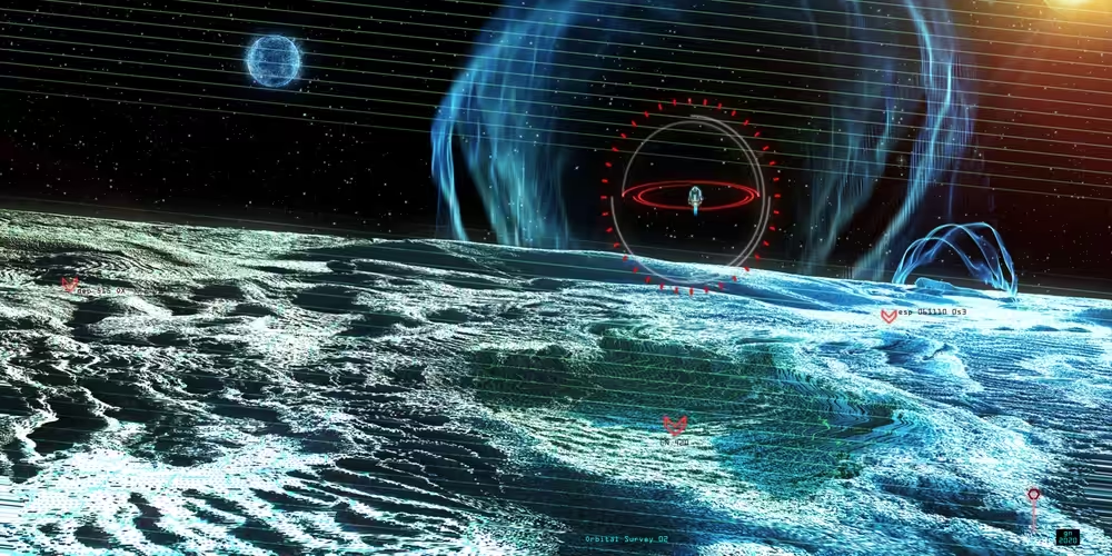
Orbital Survey 02
Greg Notzelman, 2020 — on MakersPlace
Description
“Orbital Survey 02” is the second image in a series which explores my stylized interpretation of how a computer might see and analyze alien terrains. In this image the digital feed has interference. Data visualization and voxel like landscapes merge to take you to “Worlds Beyond”.
These images carry twice the resolution of a standard film frame. This enables them to display a high level of detail across a broad spectrum of devices and print media.
“Orbital Survey 02” combines several 3d software packages including Blender, compositing software, and particle generators. The landscape itself combines over 20 layers to make the final image.
On-chain
Market
Provenance
Traits