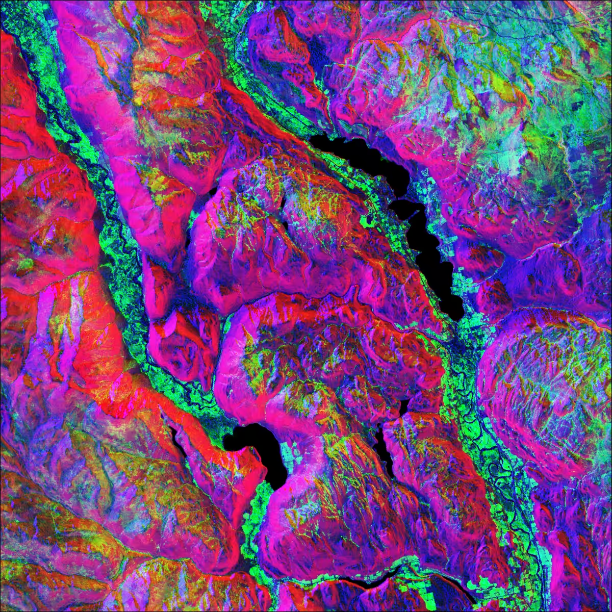
Remotely Sensed
Eliot Sico, 2021 — on OpenSea
Owned byABB_Returns
Description
The sweet abstraction of Mother Earth seen from above.
Remotely Sensed is a collection of customized satellite images produced by inserting different spectral and topographic data into the Red, Green and Blue channels of an image (RGB). The whole dataset is gathered and preprocessed through the Google Earth Engine platform.
Ultimately, this project tries to get the most esthetic and color-balanced rendering out of raw remotely sensed data, while keeping a pure physical representation of the mapped territory.
On-chain
Market
Provenance