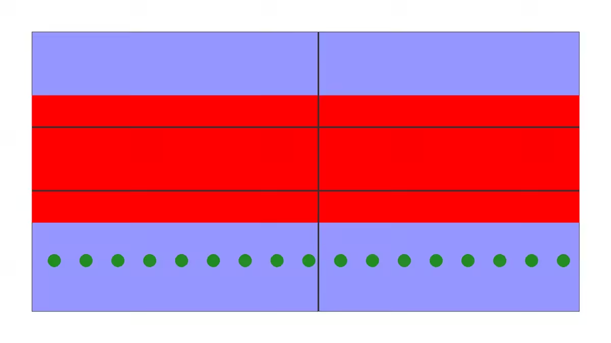
Julian Destroyed 2
julian_destroyed.py by Brett Stalbaum and ChatGPT 40 mini
Please write me a python program using the PIL libary primitives to draw a picture of the map of Julian, California after the destruction of the 2003 Cedar fire. Please use your training to infer what you can not depict exactly, go for a kind of emotional truth. Include local roads. Output a file called Julian_destroyed.png at 1920x1080
Please do that again without text
Oct 14th 2024
=? "Creating a detailed and emotionally resonant map of Julian, California, after the destruction of the 2003 Cedar Fire using the PIL (Pillow) library in Python is an interesting challenge. Since I can't generate images directly, I'll provide you with a Python program that you can run on your machine. This program will create a symbolic representation of the area, capturing the emotional impact of the fire while incorporating local roads."
from PIL import Image, ImageDraw
Create a new image with white background
width, height = 1920, 1080 image = Image.new("RGB", (width, height), "white") draw = ImageDraw.Draw(image)
Draw the map outline (simplified)
map_color = (150, 150, 255) draw.rectangle([100, 100, 1820, 980], outline="black", fill=map_color)
Simulate the areas affected by the Cedar Fire
fire_color = (255, 0, 0, 128) # Semi-transparent red for fire damage draw.rectangle([100, 300, 1820, 700], fill=fire_color)
Draw local roads (simplified)
road_color = (50, 50, 50) draw.line([(100, 400), (1820, 400)], fill=road_color, width=5) # Main road draw.line([(100, 600), (1820, 600)], fill=road_color, width=5) # Another road draw.line([(1000, 100), (1000, 980)], fill=road_color, width=5) # Vertical road
Add some trees in the unaffected area (symbolic)
tree_color = (34, 139, 34) # Forest green for x in range(150, 1800, 100): draw.ellipse([x, 800, x + 40, 840], fill=tree_color)
Save the image
image.save("Julian_destroyed2.png") print("Image saved as 'Julian_destroyed2.png'")