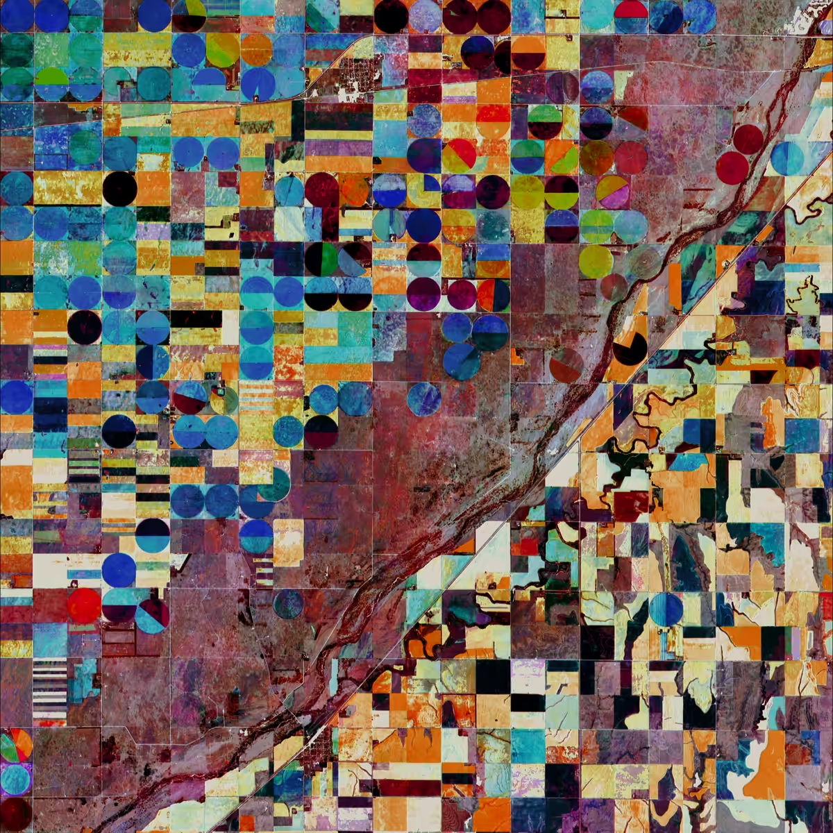
Geometric crop fields
valtzen, 2022 — on hic et nunc
Ed. 1/3
Description
The Sentinel-2 satellite image shows geometric layout of agriculture plots in central Kansas. The scene covers an area of about 440 square kilometers. Coloring is based on tracking the change of vegetation index values in a 3 month period.
On-chain
Market
Provenance
Collectors