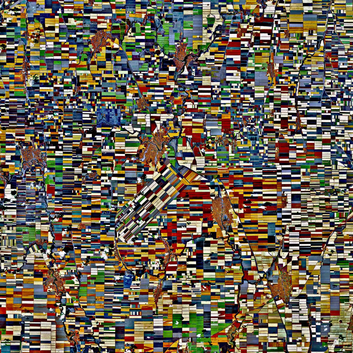
Crop patterns
valtzen, 2021 — on hic et nunc
Ed. 1/100
Description
Modified satellite image shows agriculture plots in Krasnodar region, southern Russia. Raw data consists of signal gathered visible and infra-red spectrum. Input data from Sentinel-2 MSI instrument courtesy of ESA and Copernicus.
On-chain
Market
Provenance
Collectors