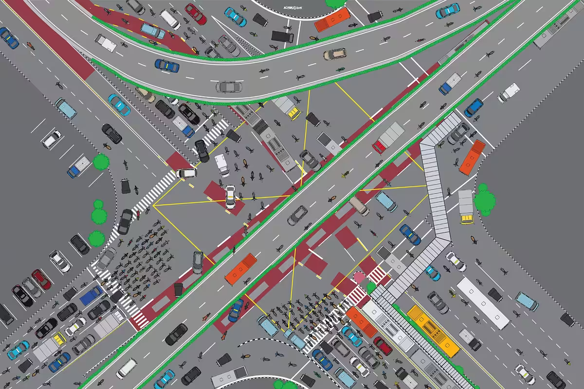
Border, Encounter (Matraman-2015 colored)
Protocol road intersections are often the reference for directions, especially in big cities. I take the example of the intersection site of Jalan Matraman Raya in this work. In addition to being one of the most vehicular intersections, this site is also the border of the Central and East Jakarta municipal areas. The direction to Matraman is the East Jakarta part, while the Salemba direction to the north is part of the Central Jakarta area. In addition to the intersection, there are also branching fly-overs that only a few are in Jakarta. I am interested in making a birdview of the work because it shows the dynamics of movement and movement of vehicles and the level of activity of a city, by taking sites/roads as a sample. This mobility inadvertently forms a tangent line and shows the human characteristics of the city without presenting human figures or forms in my work.