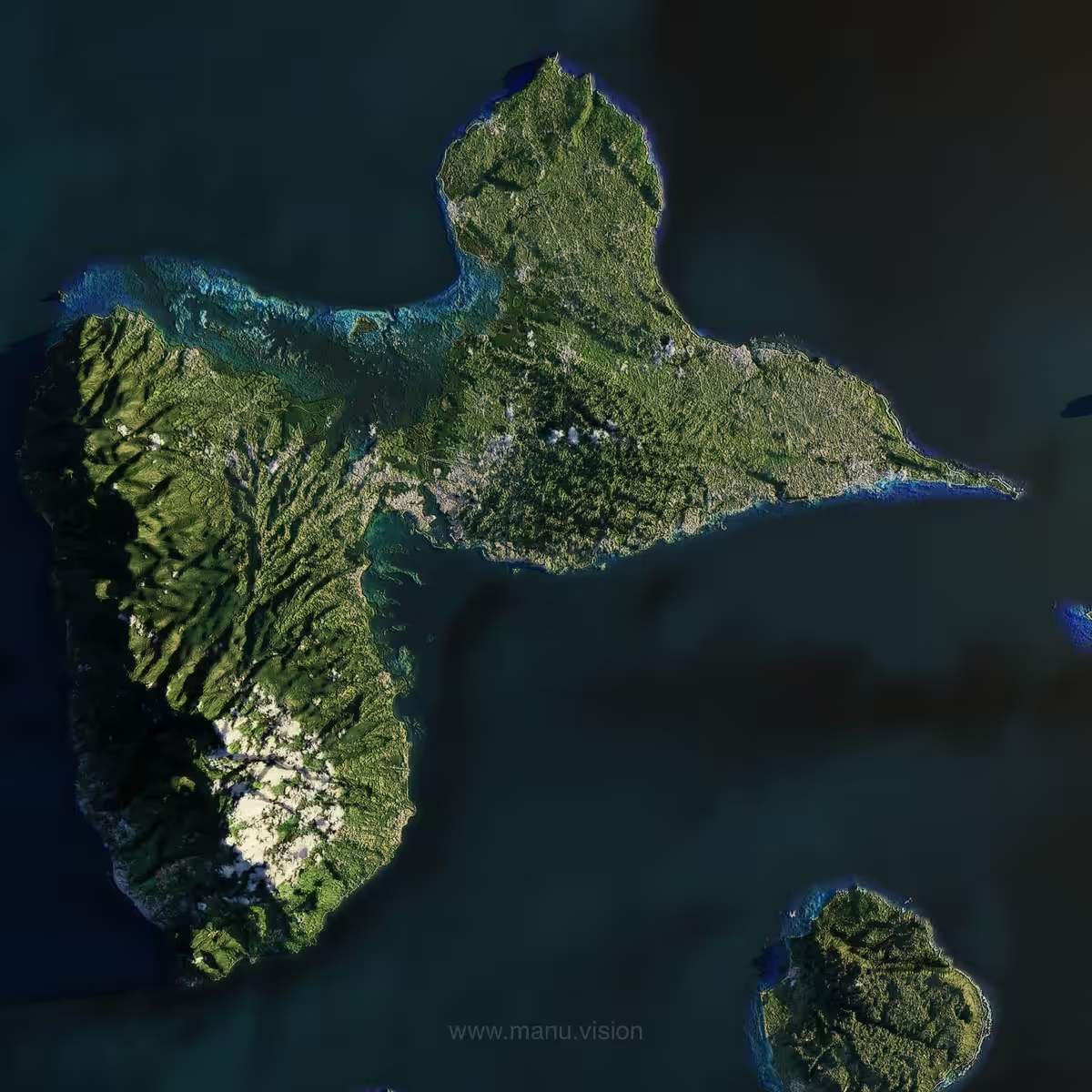
3D Gwada
manuvision, 2021 — on hic et nunc
Ed. 1/43
Description
This is not a satellite picture. This is a stylized 3D render of my island Guadeloupe, designed in 2020 thanks to a technique mixing NASA terrain elevation data & Google Maps imagery (enhanced with CGI textures).
On-chain
Market
Provenance
Collectors